Adventure Columbus Scioto Mile
Whitney Baxter
Visual Communication Design, 2022
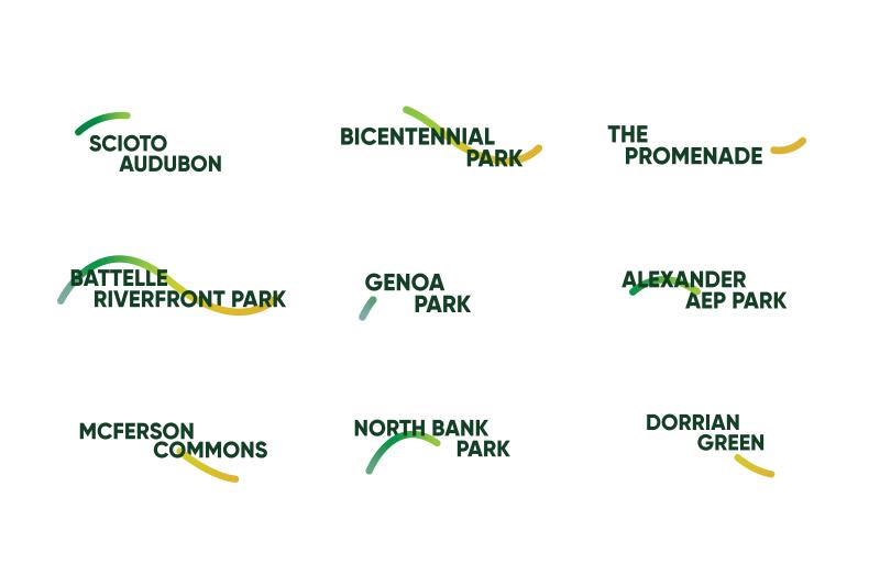
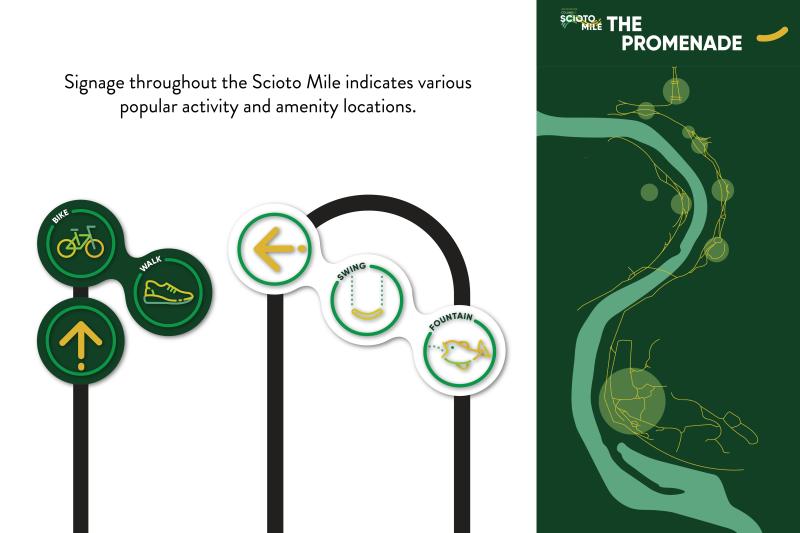
Located in downtown Columbus, OH, the Scioto Mile is an expansive urban park space composed of nine different parks. It runs along the Scioto River, passing by various city attractions and landmarks, and offering a plethora of activities to users. Though it is a treasured space by the city of Columbus and nearby residents, the Scioto Mile is underutilized. Through research, I sought to understand the Columbus identity, place branding, what makes parks successful, and what people want from the Scioto Mile. Using learned insights, I then identified ways to encourage more people to visit the area, mainly through making the parks more navigable for visitors, and showing them what activities were available to them in the park spaces.
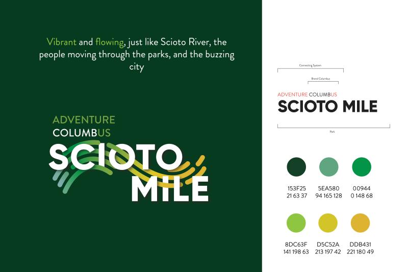
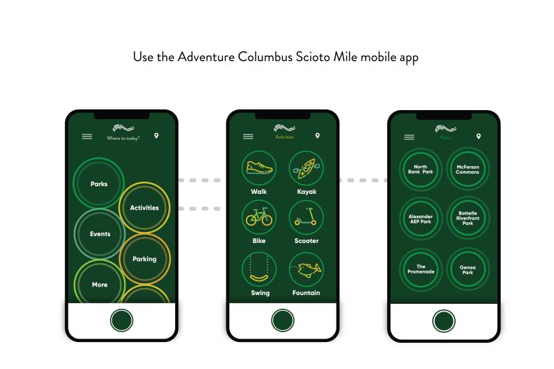
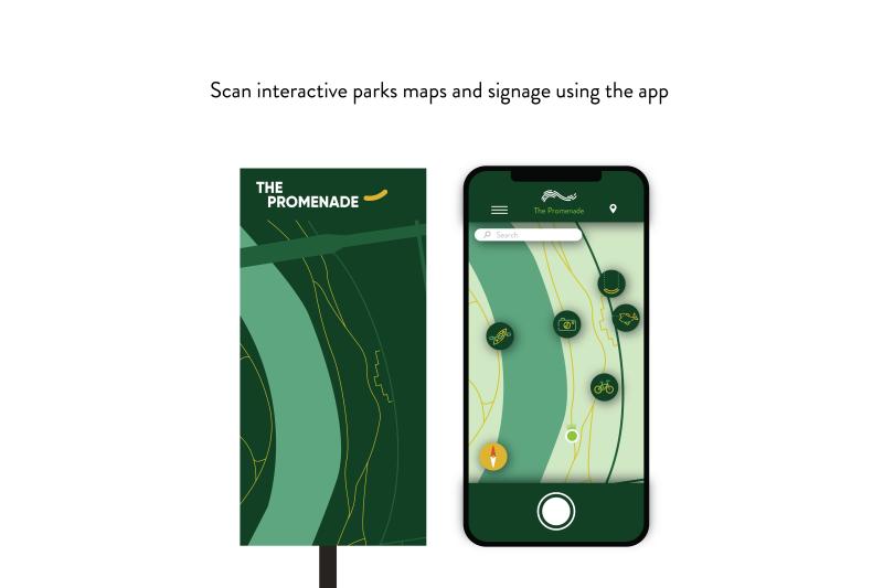
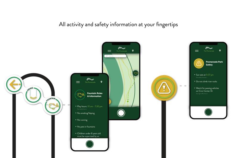
The Adventure Columbus Scioto Mile interactive wayfinding system aims to improve the visitor experience at the Scioto Mile. This semester-long process included user research, rebranding, interactive wayfinding, and a mobile app.

Whitney Baxter is a Visual Communication Design student at the Ohio State University, with minors in business and architecture. Through her work, she has developed a love for designing for experiences: exploring how digital and physical design can work within the physical world to create valuable experiences for users. She always had a love for storytelling and finding ways to incorporate a degree of narrative into all aspects of her work.
View Whitney's other work at here!
